At First Due, I lead customer data migrations through validation, UAT, and cutover. My independent work starts with RF and sensor data. More about my work →
DENVER / WGS84 SATELLITE PASSES
Archive replayDrag · tap a dot
Loading the pass archive…
WEATHER SATELLITE / RF
A ground station on my roof
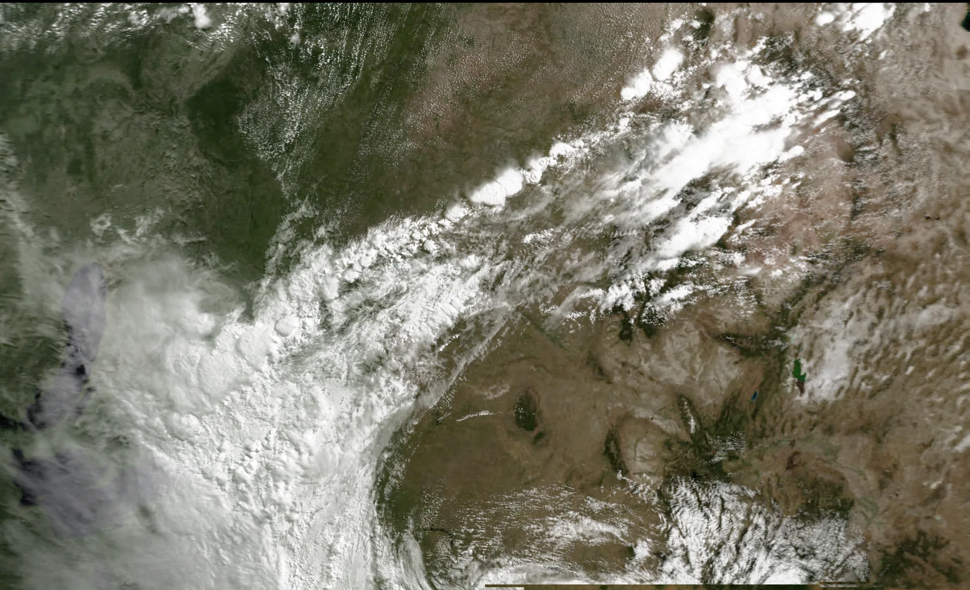
I built a Raspberry Pi station that predicts METEOR passes, records the configured 137.9 MHz LRPT downlink, runs SatDump, and archives the decoded imagery.
255 recorded passes · 120 on the globe · 42 with imagery · to 4 October 2026
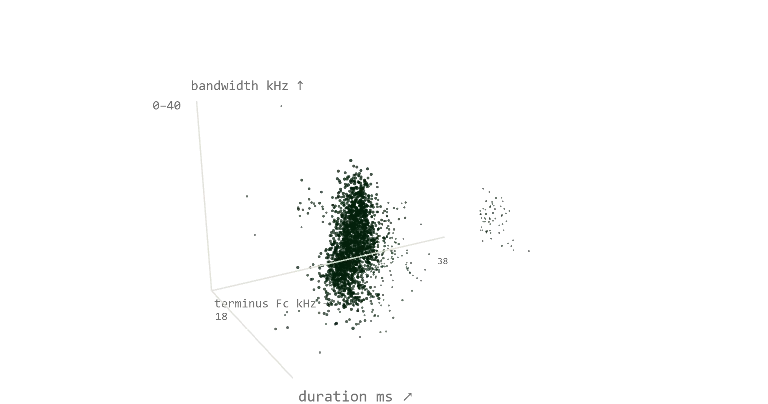
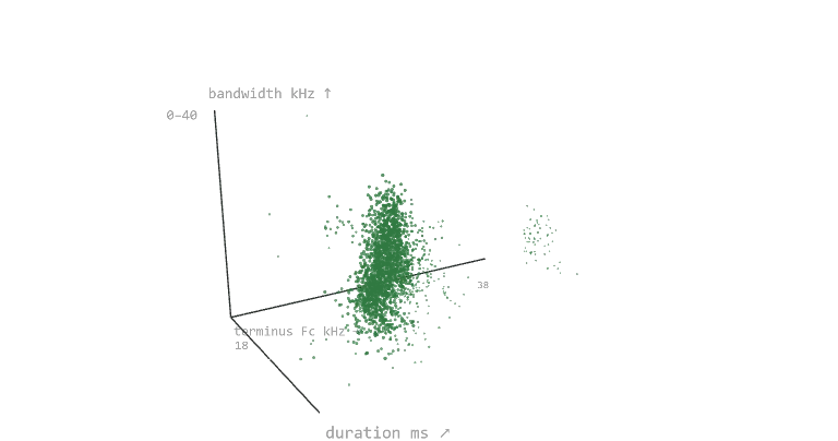
SEVEN NIGHTS 2,228 CALL DETECTIONS OVER ONE BACKYARD
Drag to rotatetime → · kHz ↑ · night in depth
WebGL unavailable
Each point is one detected echolocation call. Scroll to move from time of night to measured call shape. Drag to rotate.
BIOACOUSTICS / SENSOR DATA
Seven nights of ultrasonic audio
I recorded a Denver backyard at 250 kHz, screened 34 GB of audio with BatDetect2 and Kaleidoscope Pro, and checked the classifier results against the clips.
7 nights recorded · 2,228 call detections · 2 species supported